October 22, 2026
Authors


On June 24, two earthquakes hit northern Venezuela about 30 seconds apart: a magnitude 7.2 near San Felipe, Yaracuy, followed by a magnitude 7.5 off the shore of La Guaira near Catia La Mar. The earthquakes caused major loss of life, widespread damage to buildings and infrastructure, displacement of residents, disruption to essential services, and direct physical losses estimated in the tens of billions of U.S. dollars.
Exponent's Juan F. Perri, Ph.D., P.E., G.E., joined a large group of geotechnical engineering and earthquake experts in a multinational response to the earthquakes that worked with local private institutions, local universities, and government agencies to perform aerial and ground surveys of damaged metro and rural areas, faults, landslides, and more. Their full report, co-edited by Dr. Perri, was published by the Geotechnical Extreme Events Reconnaissance (GEER) Association, and is now available in both English and Spanish language versions.
GEER is a volunteer organization of geotechnical engineers, engineering geologists, and earth scientists from academia, industry, government organizations, and non-profit organizations who respond to geotechnical extreme events, conducting detailed reconnaissance and documenting observations.
In parallel, Exponent's Connie Chen, Ph.D., P.E., and Morgan Griffith, P.E., joined another group of technical experts who visited the damaged areas and documented structural conditions as part of the Earthquake Engineering Research Institute (EERI) reconnaissance efforts.
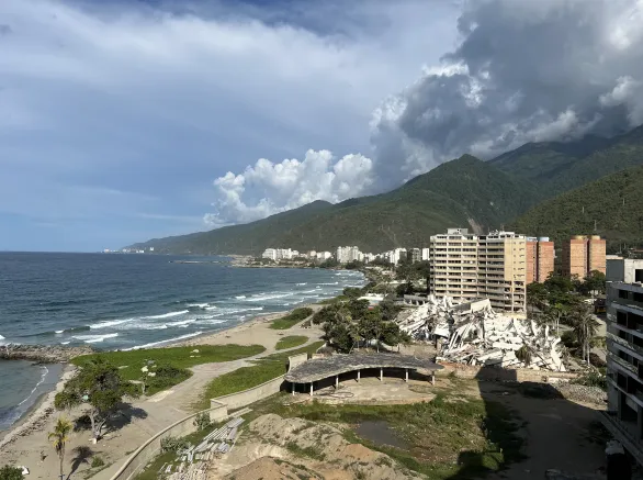
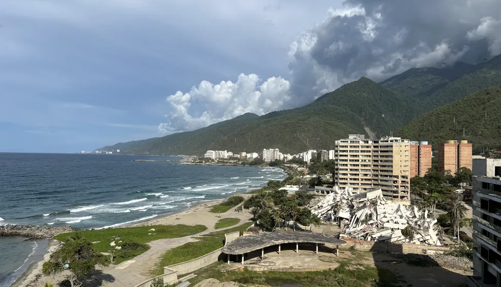
The investigators found that the earthquakes caused the most severe damage in the coastal communities of La Guaira, as well as localized but notable impacts in Caracas, where strong shaking was exacerbated by local soil conditions where coastal alluvial fans, waterfront fills, and thick sedimentary deposits provided geologic conditions favorable for ground-motion amplification, liquefaction, lateral spreading, settlement, and differential ground deformation. Cracks and ground deformation appeared near known fault systems as well. In many coastal areas, saturated soil lost strength, causing ground settlement, cracking, sand boils, pavement damage, and movement toward shorelines, marinas, and waterways. The earthquakes triggered hundreds of landslides that deposited loose material in drainage channels increasing potential sediment loads that could be remobilized in rainstorms through debris flows. The GEER report outlines future hazards associated with the consequences of these landslides, including unstable slopes, damaged drainage systems, and accumulated debris that could worsen with the effects of heavy rainfall. In Caracas, damage patterns to high rises were likely influenced by basin geometry, sediment thickness, and the height of buildings.
Building performance varied significantly. Some neighboring buildings experienced very different levels of damage, suggesting that construction quality, building design, foundation type, age, and local soil conditions all played important roles. Roads, marinas, ports, airport areas, utilities, communications, water systems, and health services were also damaged or interrupted. Fortunately, the investigators reported that large dams showed no confirmed earthquake damage.
The EERI Earthquake Reconnaissance Report, with contributions from Dr. Chen and Mr. Griffith, is in preparation and will be published in the coming weeks.
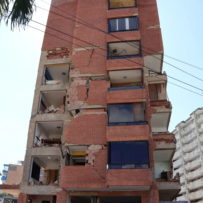
"June 24 2026 San Felipe and Catia La Mar Earthquakes, Venezuela"
Read the full report here
From the publication: "The GEER reconnaissance highlights that technical impacts and humanitarian consequences were closely connected: ground failure, building collapse, landslides, infrastructure damage, and service disruption combined to create cascading effects that extended beyond individual structural failures."