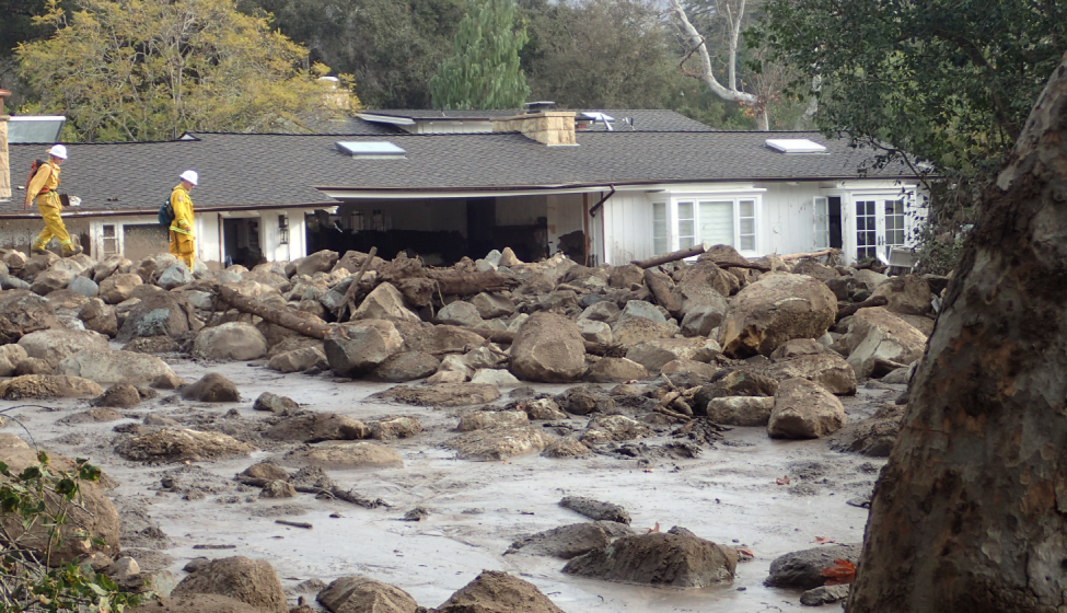
While geotechnical engineering has evolved tremendously in the past decade — from advances in digitalization and data sciences to remote sensing and geographic information system technology — the impact of climate change on extreme weather events, such as flooding, hurricanes, and wildfires, has exacerbated the risks to infrastructure, facilities, and property. So how can government and private facility owners confidently protect their valuable assets in the face of changing risks?
With 50+ years of engineering and scientific excellence, Exponent provides extensive, leading-edge geotechnical engineering consulting, including seismic and quantitative risk assessments, deep excavation and urban construction expertise, landslides, sinkholes, hydrology and hydraulics consulting support, and more. Learn about the latest geotechnical risk assessment solutions and bring your toughest challenges to Exponent's Civil Engineering experts exhibiting at this year's American Society of Civil Engineers (ASCE) Geo-Risk conference.
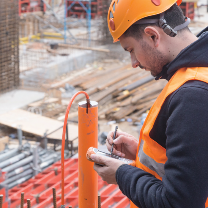
Expert Geotechnical Engineering, Risk Assessment, and Mitigation Support
MEET WITH EXPONENT AT BOOTH 4
David Sykora, Ph.D., P.E., G.E., D.GE, Principal Engineer, Civil Engineering
- "Dr. Sykora specializes in geotechnical engineering and earthquake engineering, including the evaluation of natural hazards, construction defects, performance of constructed systems, and geotechnical failures."
Saj Salam, Ph.D., P.E., Senior Engineer, Civil Engineering
- "Dr. Salam specializes in computational geomechanics, numerical analysis of the geosystems, and big data analysis."
Ezra Tjung, Ph.D., P.E., Senior Engineer, Civil Engineering
- "Dr. Tjung specializes in soil mechanics, geotechnical engineering, foundation engineering, earthquake engineering, and computational geomechanics."
"Not all buildings are engineered to withstand earthquakes. In reality, it isn't feasible to make every building, business, bridge, tunnel, etc., impervious to the forces of nature. Determining which buildings require stronger safeguards is the responsibility of governments and all participants in the planning and construction processes, from concept to commissioning." Read more.
ASCE Geo-Risk 2023 convenes diverse geotechnical engineering professionals, from educators to professional engineers, government agencies to regulators, and more. Get the insights you need to mitigate a range of risks.
Join us
Register now for ASCE Geo-Risk 2023.
What Can We Help You Solve?
From analyzing differing site condition claims of infrastructure projects, to assessing dams and levees, to evaluating post wildfire debris flow hazards, Exponent provides unparalleled civil engineering expertise and data-driven insights.
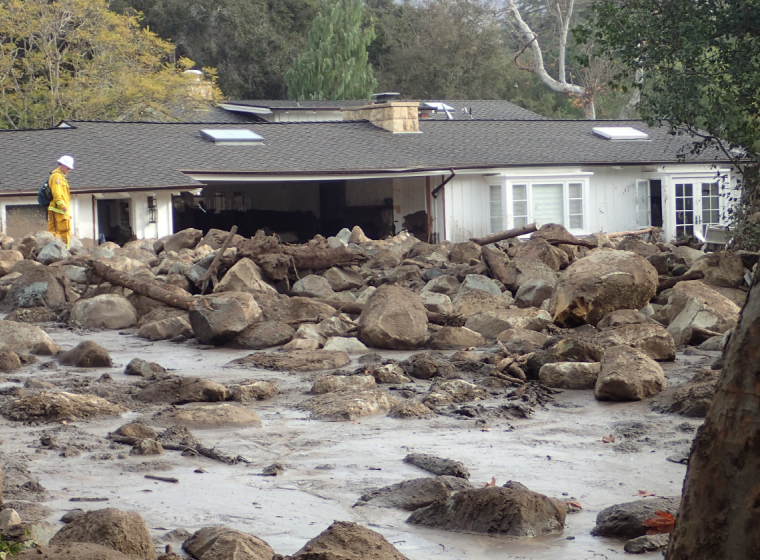
External Hazards: Risk Assessment & Mitigation
Accurate assessment, mitigation, and remediation support for external hazards and natural disasters.
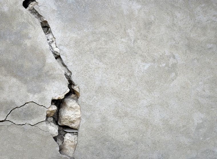
Seismic Risk Assessment
Probabilistic seismic risk assessments of buildings, bridges, and other structures.
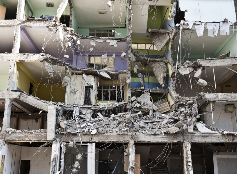
Post-Earthquake Safety & Damage Assessment
Quickly understand and respond to earthquake damage, evaluate causal factors, and identify repairs.
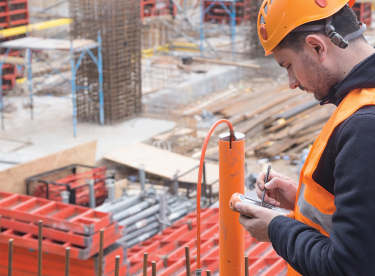
Geotechnical Instrumentation & Monitoring
Geotechnical instrumentation monitoring services tailored to specific applications and needs at every stage of a project lifecycle.
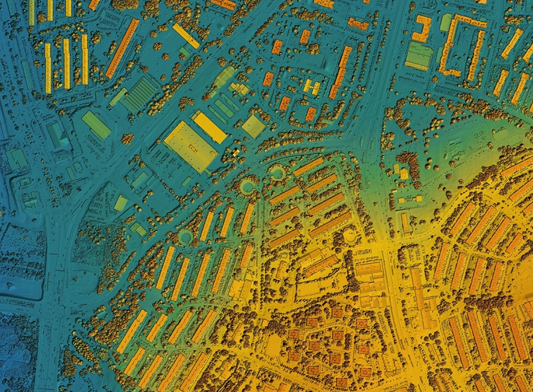
Geospatial & Landscape Analysis
Geographic analytical tools and services for site exploration, accident investigations, or legal disputes.

Structural & Geotechnical Quantitative Risk Assessment
Innovative, quantitative risk assessments to support climate-change planning that helps protect buildings, infrastructure, and other valuable assets.
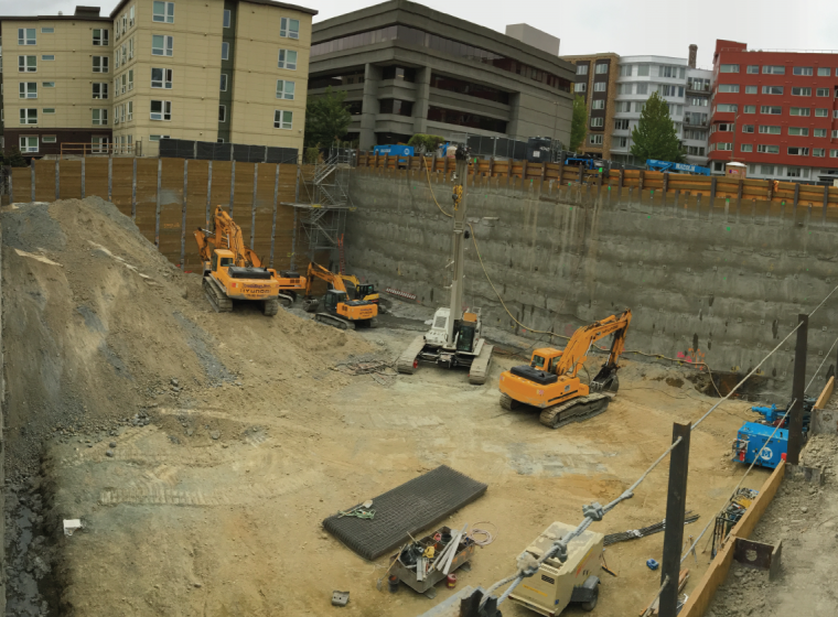
Deep Excavation & Urban Construction
Assess and mitigate deep excavation risks with experienced, multidisciplinary expertise.
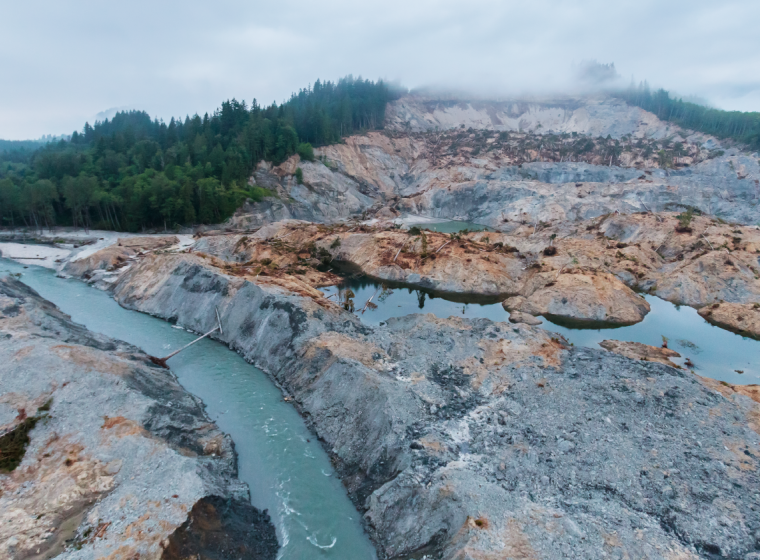
Landslides & Slope Failures
Full support, including evaluation and testing services for landslides, slope failure, and issues of erosion.
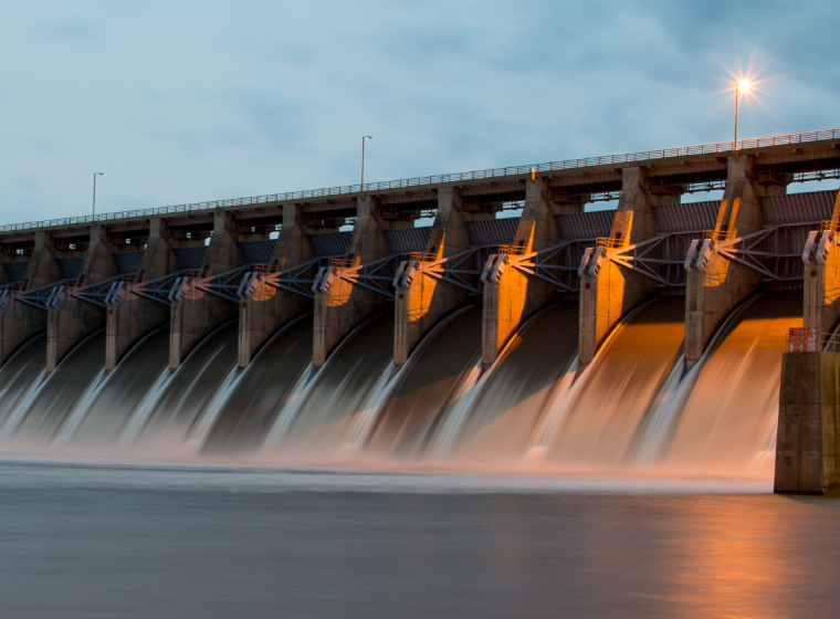
Hydrology & Hydraulics
Identify and address hazards and plan for appropriate water supply with expert analyses and water consulting services.
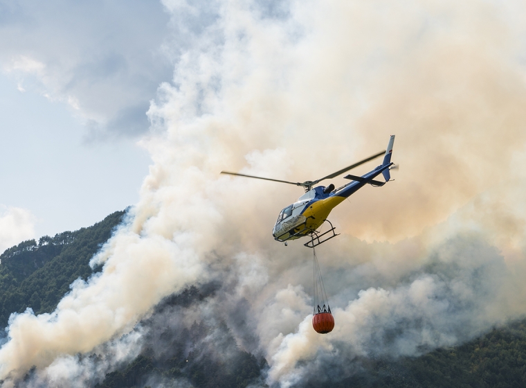
Wildfire Impact
Multidisciplinary experience and expertise to evaluate post-wildfire hazards and provide remedial recommendations tailored to specific site conditions.
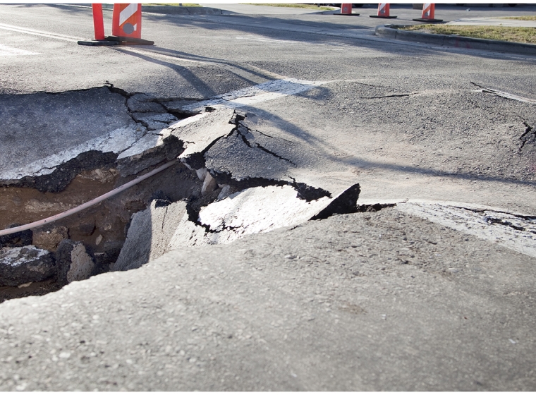
Sinkholes
Expert analysis to help identify and prevent sinkhole formation, investigate damage claims, and more.

Remote Sensing Analysis
Improve site understanding with remote sensing and geospatial analytics, including GIS.
Insights

